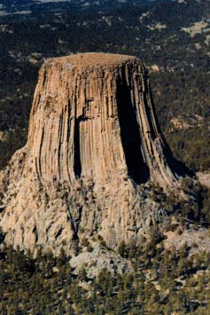
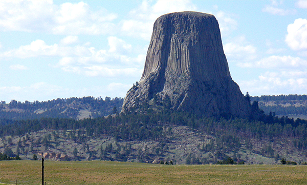
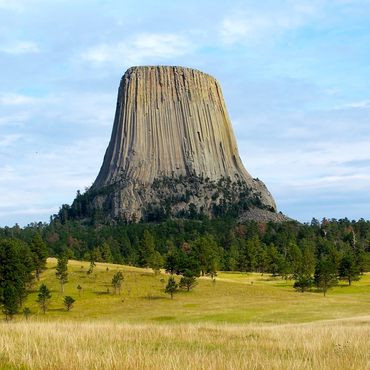
Devils Tower (also known as Bear Lodge Butte) is a butte, possibly laccolithic, composed of igneous rock in the Bear Lodge Ranger District of the Black Hills, near Hulett and Sundance in Crook County, northeastern Wyoming, above the Belle Fourche River. It rises 1,267 feet (386 m) above the Belle Fourche River, standing 867 feet (264 m) from summit to base. The summit is 5,112 feet (1,558 m) above sea level
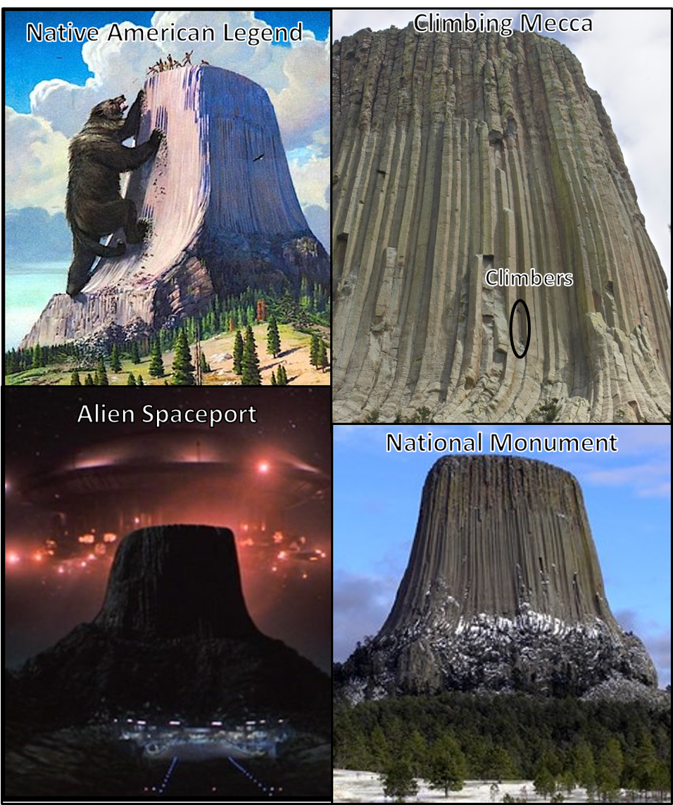
The name “Devil’s Tower” originated in 1875 during an expedition led by Colonel Richard Irving Dodge, when his interpreter reportedly misinterpreted a native name to mean “Bad God’s Tower”.All information signs in that area use the name “Devils Tower”, following a geographic naming standard whereby the apostrophe is omitted.
The landscape surrounding Devils Tower is composed mostly of sedimentary rocks. The oldest rocks visible in Devils Tower National Monument were laid down in a shallow sea during the Triassic. This dark red sandstone and maroon siltstone, interbedded with shale, can be seen along the Belle Fourche River. Oxidation of iron minerals causes the redness of the rocks.
This rock layer is known as the Spearfish Formation. Above the Spearfish Formation is a thin band of white gypsum, called the Gypsum Springs Formation, Jurassic in age.Overlying this formation is the Sundance Formation. During the Paleocene Epoch, 56 to 66 million years ago, the Rocky Mountains and the Black Hills were uplifted. Magma rose through the crust, intruding into the existing sedimentary rock layers.